
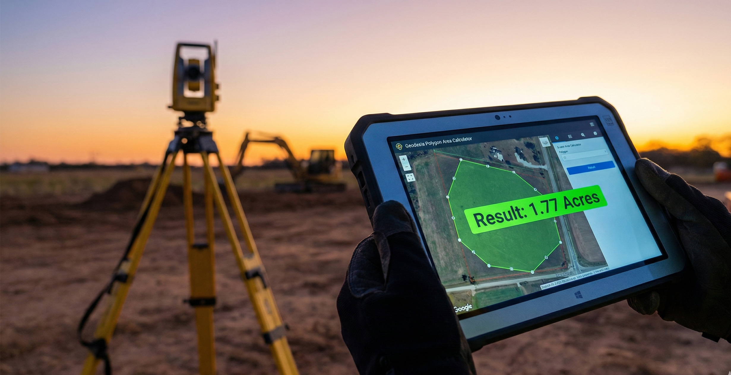

If you’ve ever calculated the area of a surveyed land plot manually, you already know the struggle.
You start confident. Then the coordinates get longer. Then the calculator batteries mysteriously weaken. Or one wrong digit ruins everything and you don’t even know where.
There is a better way, and no, it doesn’t involve suffering for character development.
Meet the Polygon Area Calculator. A simple, professional computation engine built for the actual reality of surveying—where data is messy, laptops are dying, and clients want answers now.
The Brutal Reality of Field Data
Let’s be completely honest. If you are sitting in a corporate office running national cadastral adjustments for the Ministry of Lands, you are using Autodesk Civil 3D or ArcGIS. You don’t need a web calculator.
But out in the field? On the outskirts of Nairobi or a peri-urban subdivision in Kajiado? The reality is very different.
You rarely get a clean, perfectly formatted digital file. You get coordinates texted over WhatsApp. You get a photo of a printed mutation form. You are working off a mobile hotspot on a standard-issue laptop. Booting up a 4GB heavyweight desktop program just to check the acreage of a half-acre plot is computational overkill.
That is exactly why this tool exists.
What This Tool Is
This tool does one thing exceptionally well: It calculates the precise area and perimeter of surveyed land plots instantly, right from your browser.
You paste in your XY, UTM, or Geographic (Lon/Lat) coordinates, hit calculate, and it immediately gives you:
- Total Area (Grid, Ground, and Geodesic)
- Total Perimeter
- Individual segment lengths and bearings
- Combined Scale Factor (CSF) adjustments
It uses the rigorous Gauss Shoelace Formula for planar math and GeographicLib for WGS84 ellipsoidal computations. No flat-earth approximations. Just the exact same mathematics you were taught in school, executed in milliseconds.
Why Independent Surveyors and GIS Techs Actually Like It
Manual calculations aren't "more professional." They’re just slower. Here is how Geodesia kills the friction in your day-to-day grind:
- Stop Typing WhatsApp Coordinates: Whether your plot has 6 points or 260, the tool doesn’t care. You don't even have to type them out—just use the Batch Import to drag and drop your
.CSVor.TXTfiles straight from your data collector. - The Projection Headache is Solved: Moving between legacy systems (like Cassini-Soldner) and modern UTM/WGS84 creates constant anxiety. Geodesia automatically projects Geographic (Lon/Lat) coordinates to UTM and handles the rigorous math of converting Grid to Ground via CSF.
- It Catches Your Mistakes: Ever accidentally swapped a coordinate and made a "bow-tie" polygon? The engine features Intelligent Topology Validation. If your lines cross, it halts and warns you before you submit corrupted data.
- It Produces Professional Outputs: When you are done, you can export the final results as a clean PDF Dossier or an Excel sheet. That means clean reports, easy sharing via phone, and fewer “how did you get this acreage?” arguments.
Who This Tool Is Perfect For
This calculator is not trying to be a full cadastral network adjustment software. It is highly optimized for:
- Independent surveyors doing rapid area verification from field data.
- Real estate GIS analysts validating parcel geometry on the fly.
- Geomatics students learning coordinate area computation.
- Field technicians who need a lightweight, mobile-friendly engine that doesn't crash their laptop.
Why This Matters
Time saved on calculations is time spent verifying your control points, explaining results to clients, or simply getting off the site earlier.
Surveying in the field is already demanding enough. Your math doesn’t need to be part of the challenge.