
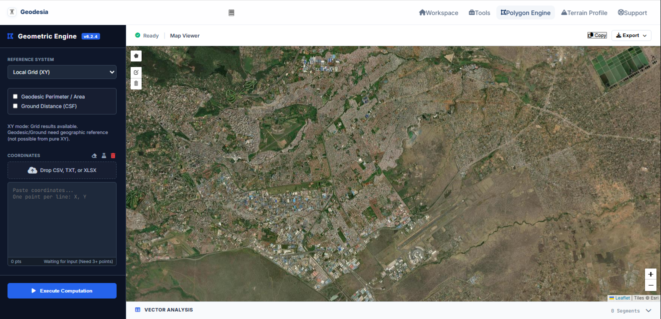

You’re looking at a closed polygon on your screen. The area sits right there in the properties panel. But if you’re dealing with a large agricultural block or a strict boundary line, you know that number is lying to you just a little bit. The grid isn't the ground.
The earth curves, the projection distorts, and suddenly that scale factor actually matters. You need the true ground area, but pulling it usually means breaking your workflow to fire up a heavy desktop GIS suite just to run a quick computation.
That friction is why the Geodesia Polygon Engine is set up the way it is. It’s built to sit quietly in your browser, run the geodetic math, and get out of your way.
Getting your data in is straightforward. Sometimes you don't have a coordinate list yet—you just need to check a parcel visually. You can just click around on the basemap, trace the boundary, and the engine computes the area the moment you close the shape. But if you already have your data, you can drag and drop your .csv, .txt, or .xlsx files straight into the sidebar. Or just copy the raw X/Y list and paste it right in.
Once the points are there, you define the reality. It handles Local Grid for flat site plans, UTM for projected data, and Geographic coordinates. If you drop in Lon/Lat, it automatically projects to UTM while keeping the geodesic measurements ready in the background.
The core of the tool kicks in when you need true ground measurements. With a single click, it calculates the actual geodesic perimeter and area. If you need the physical tape measurements to verify in the field, you just toggle the ground distance, punch in your mean site elevation, and the engine applies the Combined Scale Factor automatically.
The math doesn't vanish into a single final number, either. As soon as the polygon closes, a drawer slides up at the bottom with a full vector analysis. It breaks down every single segment of your boundary, giving you the point-to-point grid distances, bearings, geodesic lengths, and ground distances.
When you have what you need, you just hit export. You can pull a clean CSV, an Excel sheet, or a formatted PDF to attach directly to your field notes or client brief.
It shifts automatically to match your system's dark or light mode, and once it's loaded, it runs completely offline. No visual clutter, just the exact math you need, right when you need it.
You can try the Geodesia Polygon Engine here.